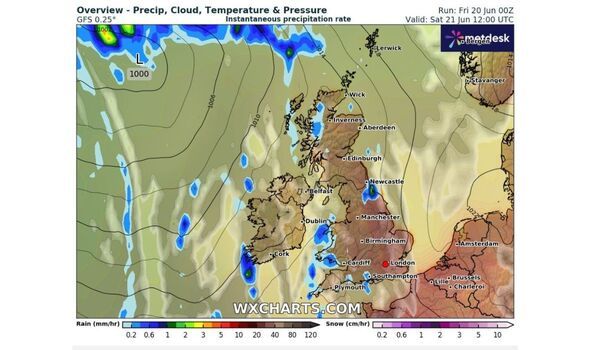
UK weather maps show that the UK is forecast to see showers across England. The contrast in the weather comes as the country has been basking in hot, dry conditions with temperatures exceeding 30C. Maps by WXCharts predict the wet weather for the evening of Saturday, June 21.
The rain, indicated by large blue spots spread across the map, is expected to hit a wide range of areas, from as far north as Edinburgh to as far south as Southampton. The map suggests that the north of England and the Midlands will see most of the downpour.
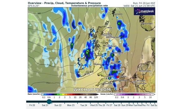
Cities that will see the highest amount of precipitation include Birmingham, Manchester, and Newcastle, with 1.5mm of rain per hour according to the smaller green spots displayed on the map.
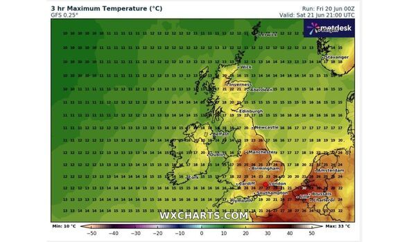
As the rain is expected to kick in from the evening, Brits can still make the most out of the sunshine throughout the day. According to the Met Office, the highest temperatures forecasted for Saturday is 34C, which could be seen in eastern England.
Deputy Chief Meteorologist, Dan Holley, added: "Despite this, the more uncomfortable heat will be in northern and western areas initially, where, despite somewhat lower temperatures, the air will be more humid.
"While Saturday will be a dry and fine day for many, a few showers or thunderstorms will be possible across northern and western parts of the UK, with an increasing risk of some intense thunderstorms developing across portions of north Wales, northern England and southern Scotland later in the afternoon and into the evening hours, which could bring heavy downpours, frequent lightning, gusty winds and possibly large hail."
A yellow severe weather warning for thunderstorms has been issued the Midlands, northern England and parts of north Wales. The warning in place from Saturday 3pm will be lifted by Sunday, June 22 at 4am.
Full List of 25 counties in England expected to see rain