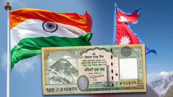
Nepal Rastra Bank has issued a new note of Rs 100 yesterday. The revised map is shown here and Kalapani, Lipulekh and Limpiyadhura have been included. part of nepal It has been told. India has been objecting to this. This change is based on the political map of Nepal, which was approved by the Parliament there in 2020. Understand this dispute between the two countries from four questions…
This dispute started from the time of Sugauli Treaty in 1816. Then a treaty was signed between the British East India Company and Nepal. In that treaty, the Kali River (Mahakali in Nepal) was determined as the western border of India-Nepal. But the treaty did not clarify where the source of the Kali River was.
In 1991, Nepal formally raised the boundary issue and a technical committee was formed. The committee resolved 90% of the disputed areas, but there was no solution on Kalapani, Lipulekh and Limpiyadhura. The dispute intensified again in 2019–2020, when India released a new map, which showed Jammu and Kashmir as two union territories, Jammu and Kashmir and Ladakh. India has also built a new road through Lipulekh.
Kalapani area holds strategic importance, because it borders India, China and Nepal. Kalapani is situated in the eastern corner of Pithoragarh district of Uttarakhand at an altitude of 20 thousand feet. It is on Kailash Mansarovar route.
Lipulekh Pass provides access to the city of Burang (Taklakot) in Tibet. The only way to reach Mansarovar in Tibet and China is through Lipulekh. Lipulekh is spread over 370 square km. China's activities can be monitored from here. This is important for India. Because since the 1962 war, this area has remained sensitive from security point of view.
India has kept the disputed area under its control for almost 200 years. Kalapani has been administered by India since the 1962 India-China war. India's active police post at Lipulekh Pass, established during the British era, continues to this day. ITBP soldiers are deployed in Kalapani since 1950. In the early 1960s, King Mahendra gave consent to Prime Minister Jawaharlal Nehru to continue using the Lipulekh-Kalapani area.
Under the Sugauli Treaty (1816), the Kali River was marked as the western border of Nepal. Nepal says that the river originates from Limpiyadhura. Nepal considers Lipulekh and Limpiyadhura as part of its Western Province. Buddhi Narayan Shrestha, former Director General of the Land Survey Department of Nepal, argues that the Kali River is actually the Kuti Yankti River, which originates in the Limpiyadhura range.
On 20 May 2020, Nepal released a map for the first time, showing the entire area east of the Kuti Yankati River as its territory, including an additional 335 square km. Nepal claims that according to the treaty the area east of the Kali River belongs to Nepal.