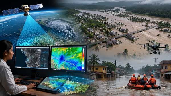
Researchers at IIT Bombay have developed an AI-based system that can predict flood-prone areas and estimate water depth using satellite radar and terrain data. The model, tested across 55000 sq km in the Western Ghats, achieved over 93 per cent accuracy. It aims to improve early warning, evacuation planning and disaster response for authorities in India.
Mumbai: In a significant step towards improving disaster preparedness amid increasing instances of extreme rainfall and flooding, researchers at the Indian Institute of Technology (IIT) Bombay have developed an advanced artificial intelligence (AI)-based system capable of accurately predicting flood-prone areas and estimating potential water depth.
Developed by Civil Engineering Researchers at IIT Bombay
The AI model uses satellite radar data and terrain elevation information to identify flood-risk zones and forecast water levels, offering authorities a powerful tool for early warning and disaster management.
The system has been developed by Kashish Sadhwani and Prof. T. I. Eldho from the Department of Civil Engineering at IIT Bombay. It is capable of generating flood inundation maps at a 30-metre resolution across the ecologically sensitive Western Ghats coastal belt in southern India.