New Delhi: People were feeling relieved after the good rains in July. But the latest report from meteorologists has raised concerns. Both the Indian Meteorological Department (IMD) and the World Meteorological Organization (WMO) have stated that the second half of the monsoon season may be weak. Due to a powerful El Niño developing in the Pacific Ocean, rainfall in August may be below normal.
According to the World Meteorological Organization (WMO), the surface temperature of the Pacific Ocean could be up to 2.9°C above normal between August and October 2026. This is known as a very strong El Niño in meteorological terms. The WMO warns that this El Niño could become even stronger in the coming months.
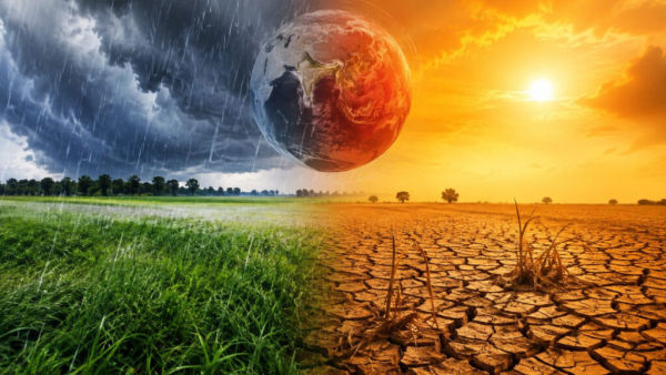
On top of that, the world’s oceans are already record warm, and the Indian Ocean Dipole is also positive. The combination of these three could disrupt global weather patterns. Some areas could experience severe droughts, while others could experience sudden, heavy rainfall.
“Two months ago, I said El Niño was on the doorstep. Now it’s here,” said UN Secretary-General Antonio Guterres, adding that this natural phenomenon will further heat up a world already grappling with climate change and heat.
The IMD estimates that nationwide rainfall in August will be only 94% of the long-term average (LPA), slightly below normal. The southwest monsoon is already erratic. This reduced rainfall could impact both agriculture and water supply.
The monsoon pattern in 2026 was not the same.
El Niño is an unusually warm ocean water phenomenon in the central and eastern Pacific. It occurs thousands of kilometers away from India, yet it directly impacts our monsoon. Historically, when strong El Niño events have occurred, monsoon winds in India have weakened and, at times, droughts have occurred.
Scientists are now watching to see if a positive IOD can mitigate the effects of El Niño. If not, the second half of the monsoon season could be rain-deficient.