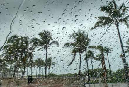
The monsoon is expected to remain active across several parts of India over the next few days, with the India Meteorological Department (IMD) forecasting rain in multiple states through September 13, 2026. Some areas could experience heavy showers, thunderstorms and gusty winds, while conditions will vary significantly from one region to another.
The latest weather outlook comes as another weather system develops over the north Bay of Bengal and adjoining areas. IMD has forecast isolated heavy to very heavy rainfall over Odisha during September 9–11, while broader monsoon activity is expected across several northern and eastern areas.
According to the forecast, parts of Punjab, Haryana and western Uttar Pradesh may receive heavy rainfall through September 13. Rainfall activity is also expected in Jammu and Kashmir and Ladakh during September 9–13.
Rajasthan is expected to see renewed rainfall around September 12 and 13. A fresh spell is also likely across parts of eastern Rajasthan, with some areas potentially receiving heavy rain.
In Odisha, the situation could be more intense. IMD has forecast isolated heavy to very heavy rainfall during September 9–11 because of the developing low-pressure system over the north Bay of Bengal and neighbouring areas.
Strong winds are another concern, particularly over coastal and adjoining areas.
IMD’s forecast indicates squally winds of up to 55 kmph over the Gulf of Mannar, adjoining southern coastal areas and the Comorin Sea. Fishermen have been advised to exercise caution in these areas.
In some other parts of the country, thunderstorms may also be accompanied by gusty winds. A separate September 10 weather update reported the possibility of winds reaching 65 kmph in some affected regions, showing that wind intensity can vary considerably by location.
Delhi is not currently under the same heavy-rain warning as some other regions.
IMD’s Delhi forecast indicates generally cloudy conditions with one or two spells of rain or thundershowers on September 10 and 11, accompanied by gusty winds during thunderstorms. Light rain is expected around September 12 and 13, with no warning listed for those two days in the cited city forecast.
Therefore, while Delhi-NCR can expect unsettled weather, the current forecast does not indicate that the capital will experience the same level of heavy rainfall expected in some other parts of the country.
The next few days could remain unsettled across parts of northern India.
The developing low-pressure area over the north Bay of Bengal and neighbouring region is an important factor behind the renewed rainfall activity. Such systems can enhance moisture flow and trigger widespread rain, thunderstorms and locally heavy downpours as they move or interact with existing monsoon conditions.
Residents in areas expecting heavy rain should keep an eye on local weather warnings, particularly where thunderstorms, lightning or strong winds are forecast.
During periods of severe weather, it is advisable to avoid unnecessary travel through waterlogged areas and stay away from exposed locations during thunderstorms. Coastal communities and fishermen should follow local authorities’ advisories where strong winds or rough sea conditions are expected.
The IMD’s latest outlook points to continued rainfall across several states through September 13, with particularly notable rain potential in parts of northern, eastern and central India. Odisha faces a risk of isolated heavy to very heavy rain in the near term, while Punjab, Haryana, western Uttar Pradesh, Jammu and Kashmir, Ladakh and parts of Rajasthan are also expected to see rainfall. Winds could reach 55 kmph in some coastal areas, while thunderstorms elsewhere may produce stronger gusts.
Weather conditions can change quickly. Residents should follow the latest city- and district-level IMD alerts before making travel or outdoor plans.