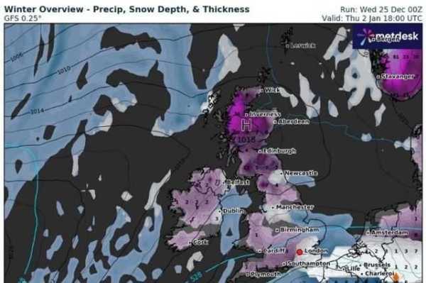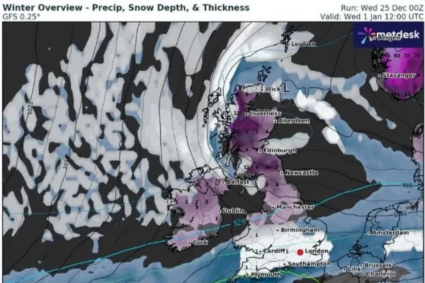
New UK weather maps show the exact areas where a massive several-hundred-mile-long wall of snow will envelop parts of the country, leaving all but one area adrift in a new year's freeze.
Day appears to have followed a recent mild trend, with the mercury settling, on average, around the mid to high single-figure range. Clouds have also descended on the country as humidity tips upwards, depriving many people of the classic wintry mix of snow and frost.
The trend isn't set to last for long, at least according to new maps from WXCharts that show an intimidating incoming mass of snow and ice. According to the latest forecasts from the organisation, which uses data from MetDesk, the snowy blanket will cover the UK from tip to toe, with one notable exception.
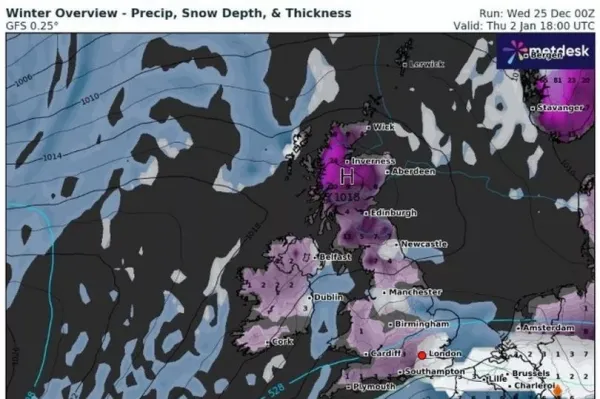
Maps for January 2, 2025, predict that snow will descend across every corner of the country, landing the heaviest over northern . There, snow could settle up to a minimum of over 20cm and a maximum of 24cm (nine inches) deep over the Scottish Highlands, with similar totals falling across the east coast.
READ MORE:

The maps show similar wintry conditions below Scotland but with lighter snowfall creating totals of between 4cm and 6cm in a large strip from the Scottish borders to Yorkshire. Further south, snowy totals will gradually lessen over the course of the day, with England and Wales seeing flurries with a smaller output of between 1cm and 3cm.
Almost no part of the country escapes the coming snowfall, the maps suggest, with only one area seeming untouched on the WXCharts radar. The service suggests that the central and west Midlands, especially around Birmingham, are unlikely to see any snow at all.

The long-range forecast, which covers the same period shown on the WXCharts maps - December 20 to January 8 - partly corroborates the WXCharts snow maps. The long-range track - which is subject to change, indicates the risk of both sleet and snow will increase over the period.
The forecast states: "Fronts or low-pressure areas are increasingly likely to move south/east across much of the country, bringing an increased threat of heavy rain and perhaps strong winds. As colder air from the north progresses southwards, the risk of sleet and snow increases, especially in northern areas, but this will depend each day on where the thermal boundary lies.
"Temperatures will start around average but will become a little below average for most, especially in the north, though milder interludes are still possible in the south. While there is moderate to high confidence in this trend, confidence is low for the exact positioning of any systems, which will be crucial in determining which areas see rain or snow."