New weather maps reveal that Brits are set to see again in a matter of days as the cold returns after a brief, milder spell.
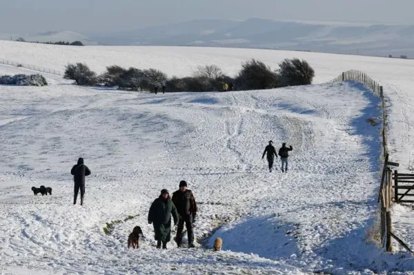
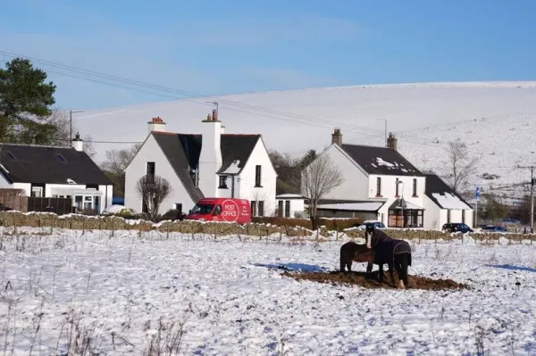
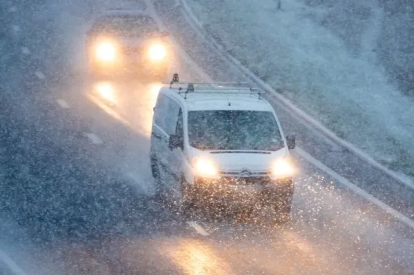
Temperatures dropped down to -14C last week, with several parts of the country experiencing widespread disruption to public transport, schools facing closures and homes being left without power. Now, maps released by WXCharts show that more snow is expected a number of regions including and next weekend.
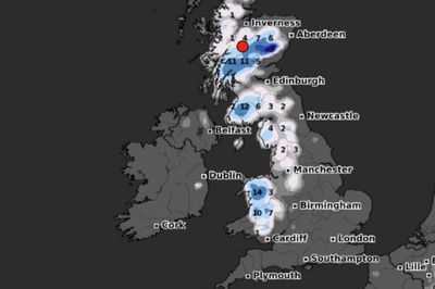
According to the website, which uses data from , further precipitations are expected on Sunday, January 26, with up to 4cm of snow in Scotland, Wales and southwestern England, in the early hours of the day. Then, by 6am, parts of Northern Ireland could also be blanketed, with around 1cm expected.
READ MORE:

And the snowfall is also set to intensify in Wales, where up to 8cm of snow could fall. At around midday on January 26, snow is also expected across northern and central England, but the current weather models show that south-eastern and eastern parts of the UK will be spared.
WXCharts shows that Snowdonia could see the heaviest snowfall, reaching 15cm by midday. By the end of the day, up to 12cm of snow could fall in northern England and up to 11cm in Scotland, while snowfall while mostly clear in Northern Ireland and southern England.

In its long-range forecast from Sunday, January 19 to Tuesday, January 28, the confirmed weather conditions are set to become more unsettled starting from this weekend. Colder, drier and wintry winds are also expected, forecasters have said.
The forecast reads: "This period is expected to see a transition, possibly lasting over several days, between the settled, dry, and often dull conditions expected over the next few days, to something more unsettled. Sunday itself is likely to be rather cloudy and cool, with outbreaks of rain in the west drifting slowly eastwards.

"The start of the following week will most likely see more settled conditions with light winds becoming re-established, with a chance of rain in both the far north and the far south, and a smaller chance that the rain could become more widespread. Later in the week, periods of much wetter and windier weather will most likely become more prevalent, from northwest to southeast, alternatively there is a very small chance of colder, drier, but perhaps wintry, easterly winds."
It comes as the Department for Work and Pensions announced nearly a million households in England and Wales will receive to cover the extra cost of heating during the cold snap last week. The payments have been triggered in over 500 postcode areas after temperatures dipped below freezing for seven consecutive days. In total there, will be £25 payments made to around 950,000 households which qualify because residents are in receipt of relevant payments.

The new payments were triggered over the weekend and into Monday, on the last days of the cold snap which saw temperatures plummet around the country. The affected areas include Cumbria, Greater , Lancashire, Yorkshire and further south into the West Midlands, Oxfordshire, Norfolk and Cambridgeshire.
A total of more than a million households have been eligible for Cold Weather Payments this winter so far. Cold Weather Payments are made to people in England and Wales who receive a range of benefits. A separate scheme is operated in Northern Ireland along similar lines but in the support for heating bills is paid every winter and not linked to specific spells of cold weather.
UK 5 day weather forecast Today:Rather cloudy at first, and staying grey across central and southeastern England, with hill fog and patchy drizzle, whilst outbreaks of rain arrive across north and northwest , where it will also be windy. Some sunshine developing elsewhere.
Tonight:Cloudy, murky and mild in central and southeastern areas. Windy with some rain across northwest Scotland. Dry with clear spells elsewhere, with patchy frost, mist and fog forming.
Thursday:Windy with rain easing and turning brighter for northwest Scotland. Cloud in the southeast spreading into Wales and southwest England. Dry with sunny spells elsewhere after early fog clears.
Outlook for Friday to Sunday:Some rain and often windy in the northwest. Mostly cloudy central and southern England, and sometimes Wales, with hill fog and patchy drizzle. Occasionally brighter elsewhere. Mild north, colder south.