

The Met Office has issued a new 16-weather warning for rain to hit several parts of the UK.
The forecaster issued a yellow warning for rain in Scotland, which is in place for areas in Dumfries and Galloways from 9pm tonight until 1pm on Tuesday.
The National Weather Agency stated: "Persistent rain, heavy at times, will develop during Monday night and continue through Tuesday morning.
"Accumulations of 30 mm are expected widely across the warning area with 40 to 60 mm falling over hills. Rain will clear from the west during Tuesday afternoon."
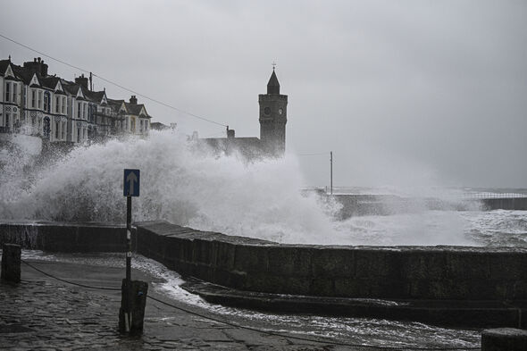
According to the Met Office, heavy rain may lead to some flooding and travel disruption on Tuesday.
It further explained: "Bus and train services probably affected with journey times taking longer.
"Spray and flooding on roads probably making journey times longer."
Nick Finnis from Netweather.tv wrote in the blog: "A weakening band of showery rain moving east across western areas will fizzle out today, with most areas having a dry and bright Sunday.
"More rain returns to NW Scotland on Monday ahead of a frontal system moving east with another band of rain moving in across northern and western areas Tuesday morning, the rain band weakening as it reaches SE England and East Anglia later in the day.
"These rain bands moving in off the Atlantic weakening as high pressure builds in from the southwest by mid-week. This is thanks to the jet stream shifting north from the UK to be over Iceland later in the week.
"So most places will become dry and settled through the second half of the week. With a polar maritime flow moving in mid-week prior to the high building, fortunately, this time, it looks to be a sunnier high than previous ones this winter.
"But this does mean that clear skies at night will lead to widespread frost."