
Snow is due to hit the UK on March 26, with flurries hammering several areas of the UK, according to one online forecaster.
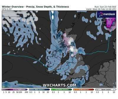
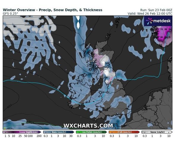
WX Charts radar shows snowfall across most of Scotland, and parts of north-east and north-west England, around noon.
Although the snow is not expected to reach Manchester, Leeds, or anywhere further south, sub-zero temperatures are expected across the country by the weekend.
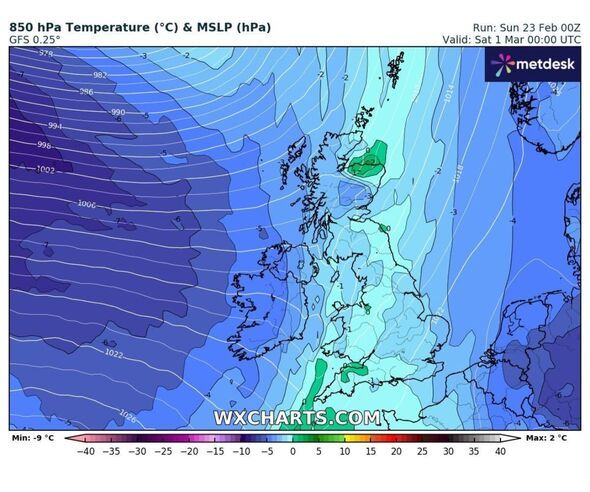
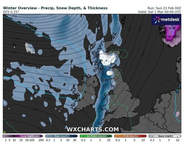
On March 1, the Scottish Highlands could see -5C, while several areas of the country, including the south-east, could see the mercury fall below zero.
The Met Office is also predicting snowfall on March 26, but nowhere as much as WX Charts. According to the Met Office, the official forecaster for the UK, there will be a smattering of snow, but only in Scotland - chiefly in the Highlands.
The flurries are predicted between midnight and 3am the next day.
Elsewhere will see scattered showers, but nothing in the way of wintery downpours.
 This Evening and Tonight:
Rain, heavy at first, moving slowly east overnight but still lingering across East Anglia,and southeast England by dawn. A mix of clear spells and well scattered showers following. Winds easing for most away from the far northwest.
Monday:Rain clearing the southeast, leaving a day of sunshine and showers across the UK. Temperatures close to average in the north, but mild in the sunshine across the south.
Outlook for Tuesday to Thursday:Sunny spells and showers for many on Tuesday. Rain for many on Wednesday, turning heavy at times. Drier and brighter on Thursday away from the far north and far southwest.