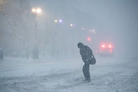
Weather maps suggest a powerful cold front is moving toward the UK, bringing the threat of heavy snowfall. The Arctic system is forecast to bring a five-day blizzard, sending temperatures plunging despite it nearly being the end of February.
The vast snow system is expected to sweep across the country in the first week of March, potentially bringing 20 inches of snow to the hardest hit areas. Snow maps from WXCHARTS show a deep purple band covering large parts of the UK. The maps indicate a sharp drop to bitterly cold conditions, suggesting that winter will make a dramatic U-turn.


*** Ensure our latest news headlines always appear at the top of your Google Search by making us a Preferred Source. Click here to activate or add us as Preferred Source in your Google search settings. ***
The threatening Arctic weather is on track to smash into the UK on Wednesday, March 4, at midnight. The snowfall will at first concentrate itself over central Scotland, with Perth and Kinross and Stirling forecast to be the worst hit in the country.
Elsewhere, the East of England and the South East will receive a drenching of rain.
Fast forward six hours, and the snow will have spread to cover larger areas of Scotland. Snow will also fall in the North West of England. North Wales will also see snow, as well as large swathes of South Wales.


At midnight on Wednesday, March 5, Tayside in Scotland will be covered in 20 inches of snow. The North East will also see heavy snowfall, as will parts of the South West and West Midlands, which could see up to five inches of snow.
The snow will be extremely persistent as large parts of Scotland will once again be covered in snow on March 6. At 6pm Perth and Kinross in Scotland will be covered in 53cm of snow.
Argyll and Bute will be covered in 4cm of snow, whilst Stirling will see 5cm of snow fall. Argus, in eastern Scotland, has the potential to see up to 7cm of snow.

In England, Yorkshire and the Humber will see up to three inches of snow. By 6pm on March 7 the snow will have moved to cover the Scottish Highlands whilst Tayside will once again be the worst hit with snow depths forecast to reach 15cm. Mid Wales and Yorkshire will see a dusting of snow.
12 hours later at 6am on March 8 the snow will have moved to cover almost the entirety of Scotland with up to 20 inches likely. The North West and North East are likely to see up to 5mm of snow fall.