The weather pattern has changed once again in Madhya Pradesh, where due to the combined effect of western disturbance and cyclonic circulation, there is a possibility of rain, storm and thunderstorm in many districts. The Indian Meteorological Department, Bhopal, has issued a yellow alert for isolated rain with thunderstorms and strong winds at a speed of 30-40 kilometers per hour in Anuppur, Dindori, Seoni, Mandla and Balaghat districts. There is also a danger of lightning falling in these areas, due to which people have been advised to remain alert.
During the last 24 hours i.e. on April 9, the weather changed in many parts of the state. In the districts of Rewa and Shahdol divisions, heavy rainfall was recorded at many places, while in the capital Bhopal, Indore, Narmadapuram, Ujjain, Gwalior, Chambal, Jabalpur and Sagar divisions there was rain with thunder at some places. Although the weather remained mainly dry in the remaining parts of the state, strong wind gusts, thunder and hailstorm at some places surprised people.
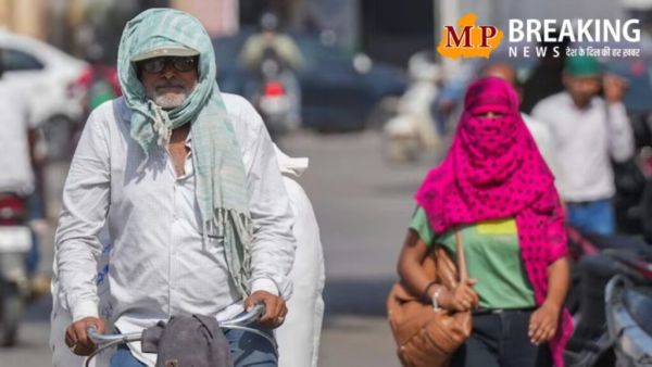
Due to the effect of rain and clouds, there has been a significant drop in the temperature of the state, due to which people felt slight coolness even in the month of April. In Rewa and Shahdol divisions, there was a significant drop of 4 to 5 degrees Celsius in the maximum temperature, while in other divisions also a drop of 2 to 3 degrees was recorded in the day temperature. A drop in minimum temperatures was also observed, due to which nights and mornings were felt relatively cool.
The highest rainfall in the state was recorded at 13 mm in Morena, followed by 9.2 mm in Jabalpur, 8 mm in Amarkantak, 7.2 mm in Mohgaon and Sihawal. Apart from this, small cities and towns like Gandhwani, Pushparajgarh, Mihona and Badarwas also received light to moderate rainfall, which also brought some relief to the fields and crops.
If we talk about the temperature situation, the highest maximum temperature in the state was recorded in Khandwa at 36.5 degrees Celsius, which was giving a feeling of heat. The temperature was 36.2 degrees in Khargone-Narsinghpur, 35.8 degrees in Damoh, 35.0 degrees in Raisen and 34.8 degrees Celsius in Balaghat. At the same time, the lowest minimum temperature was recorded in Rajgarh at 14.0 degrees Celsius, making it the coldest district. The minimum temperature was recorded at 14.4 degrees in Shajapur (Girwar), 15.3 degrees in Sehore, 16.2 degrees in Pachmarhi and 16.4 degrees Celsius in Bhopal. The day temperature at hill and tourist places like Amarkantak and Pachmarhi remained around 28 degrees Celsius, due to which the weather here remained quite pleasant.
According to meteorologists, at present a western disturbance is active around the Jammu and Kashmir region, along with which a cyclonic circulation is also formed in the upper air. Apart from this, separate cyclonic systems are also active over Uttar Pradesh, Uttarakhand and South-East Rajasthan, which are affecting the weather of Madhya Pradesh. Strong winds of the subtropical western jet stream are also blowing over north-west India, due to which continuous fluctuations are being seen in the weather. Experts have also predicted that another new western disturbance may become active around April 15, due to which the weather is likely to change again.
The Meteorological Department has also issued special advisories for farmers. During this changing season, farmers have been advised to postpone irrigation, fertilizer and pesticide spraying for the time being. Vegetable and vine crops need to be supported to protect them from strong winds, while the harvested produce has also been instructed to be kept in safe places. To ensure that crops do not get damaged due to waterlogging in the fields, emphasis has been laid on maintaining proper drainage system. with this