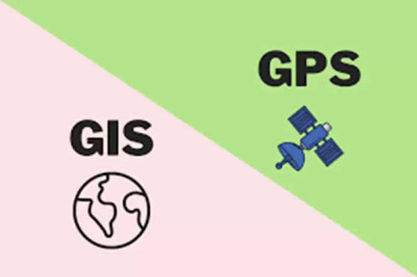
GPS Vs GIS: Global Positioning System (GPS) and Geographical Information System (GIS) are two important technologies used for the management and analysis of geographic and spatial data. GPS provides precise location and time information with the help of satellites, while GIS focuses on the collection, management, and analysis of geographic data. The combination of the two is useful for spatial analysis, mapping, and navigation in many industries.
What is GPS (Global Positioning System)?
GPS (Global Positioning System) is a satellite-based navigation system that provides precise location and time information on the Earth. This technology determines the position of the receiver using multiple satellites. GPS is mainly used for navigation, vehicle tracking, surveying, and location-based services. GPS determines the exact latitude and longitude of any location by receiving signals from a network of satellites. It provides distance and time information by sending signals through the system and processing those signals by the receiver.
What is GIS (Geographical Information System)?
GIS (Geographic Information System) is a computer-based system used to collect, store, manage, and analyze geographic data. This technology allows users to analyze maps and spatial data, and present useful results by combining different types of data sets. GIS is widely used in town planning, environmental management, disaster response, and business analysis. This technology is capable of working with maps, aerial and satellite images, and survey data. Through this, various output formats such as maps, graphs, and charts can be created.
Major Difference Between GPS and GIS
Both GPS and GIS technologies work with location and geographic data, but their functions differ:
Processing and data collection: GPS provides precise location information from satellites, while GIS is a system that manages and analyzes spatial data.
Data source: GPS determines the receiver's position and time through satellite signals. GIS uses a variety of geographic data, including aerial images, maps, and survey data.
Areas of use: GPS is primarily used for navigation and tracking. GIS is used for town planning, urban planning, environmental monitoring, and disaster management.
Real-time data: Real-time data received from GPS receivers is constantly updated. GIS can be useful for real-time data, but it requires connectivity to GPS devices.