
Britons are bracing for a brutal -10C Arctic blast with over a foot of and rare freezing rain imminent.
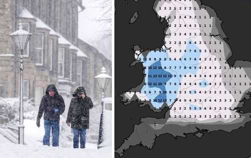
There are fears of some rural communities being cut off and of travel chaos as well as power outages as 1ft 4in (40cm) of snow could carpet parts of the UK.
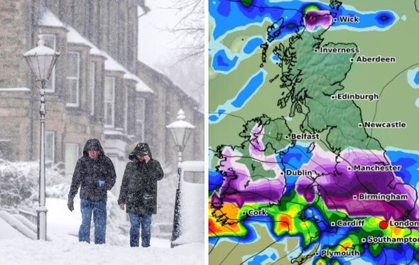
Temperatures plunged to a low of -8.6C in Aboyne, Aberdeenshire, overnight, according to the Met Office, with a frontal system heading our way from the south west, bumping into colder air and bringing snow for many.
An amber for snow and rare freezing rain covering most of Wales and central England, including the Midlands and the north-west cities of Liverpool and Manchester, is in place from 6pm on Saturday to midday on Sunday.
A second warning for snow, covering most of northern England including Leeds, Sheffield and the Lake District, has been issued from 9pm on Saturday to midnight on Sunday.
The said both of the warning areas can expect to see 3cm to 7cm of snowfall widely, while snow may mix with rain at times in lower-lying areas.
A separate yellow weather warning for ice is due to end at 10am today (January 4) while a second yellow warning for snow and ice comes into force for most areas of the UK at midday until Sunday night.
This is a live blog. Scroll down for the latest updates