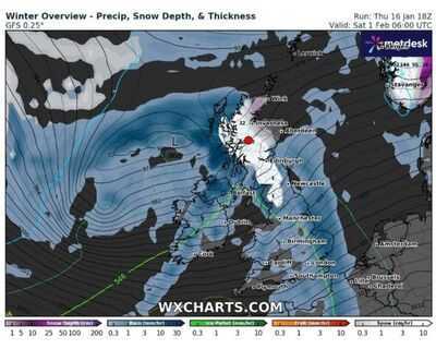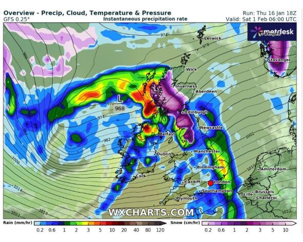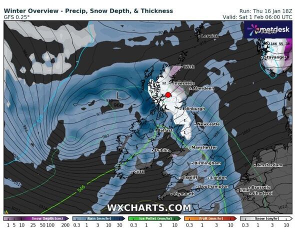

New weather maps show parts of the UK being battered with snow, with one area seeing as much as 35cm.
WXCharts has , bringing with it low temperatures, snow and rain to hit the UK in just over a fortnight (February 1).
Snow will fall in Scotland (Wick, Skye, Inverness, Fort William, Glasgow, Edinburgh, Dumfries) and north England (Carlisle, Kendal). It will be heaviest over Fort William
Rain is expected across the rest of the UK (Conwy, Manchester, Sheffield, Birmingham, Norwich, Cardiff, London, Norwich, Southampton, Plymouth).
Temperatures will be lowest in central Scotland (Fort William, Inverness) at 0C, with the rest of Scotland sitting between 1C and 3C. England, Wales and Northern Ireland will be between 3C and 6C.

The Met Office has said this period will see unsettled, milder and windier weather with likely rain.
The stronger winds are expected to affect "most if not all parts of the UK at times."
They add that the wettest and windiest weather will occur in the north and west.
Brief colder spells with "associated frost, ice and snow remains", the service added.

Tonight:
Further rain and brisk winds across northern Scotland, though clearing during the early hours. Cloudy for many, with clear spells in the north and west. A patchy frost in places.
Saturday:
Most places dry, though rather cloudy. Some bright or sunny spells developing, mainly in the north and west. Mild in the north, chilly in the south.
Outlook for Sunday to Tuesday:
Another chilly and cloudy day on Sunday, with outbreaks of rain arriving in the west later. A cloudy outlook for Monday and Tuesday, with showery rain spreading erratically eastwards.